


Trolling in the Upper-Tuloma reservoir
If you are a poet and watching the float is more important for you than the catch, then, most probably, trolling is not for you!
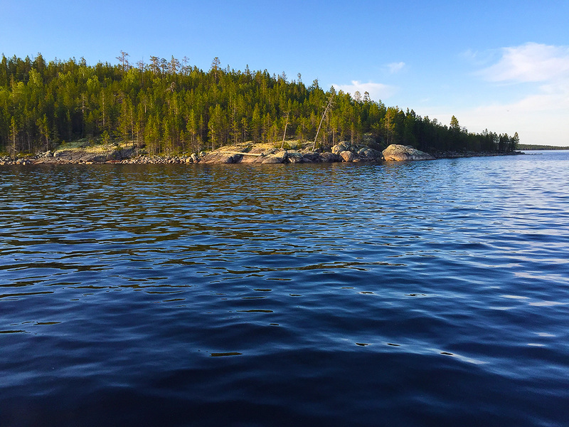
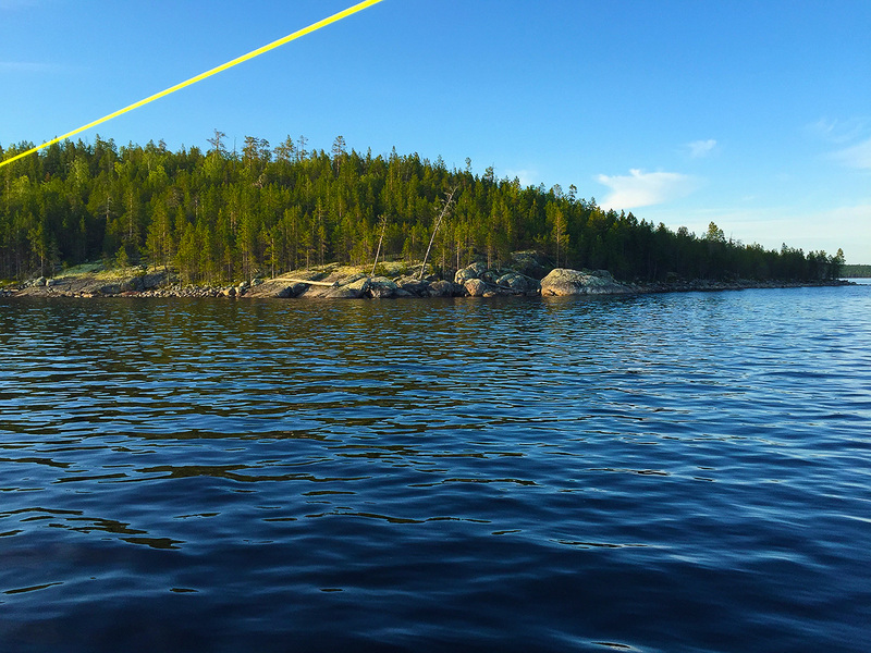
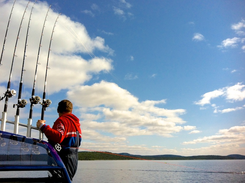
Any trolling lover, seeing the map and parameters of the Upper-Tuloma reservoir (area 745 km2, maximum width around 40 km, depth up to 50 m, average depth 15m, with 26 tributary rivers starting out of Finland and countless number of Streams) and considering the fact that it has salmon, readily understands that this is the trolling paradise to troll with wobblers (planer) and downrigger. It comes as no surprise that our Suburban Boat Club is called Ristikent, which in Lappish means “Land of the Christ”.
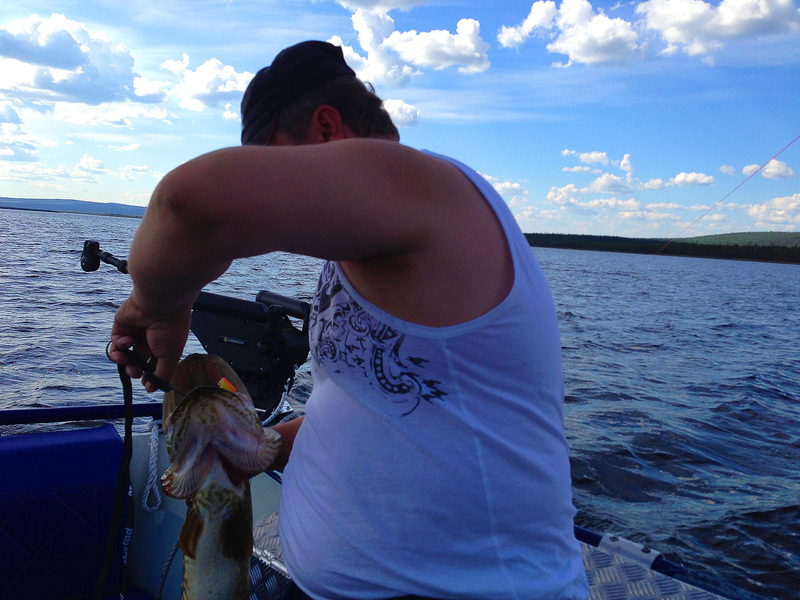
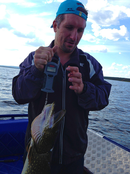
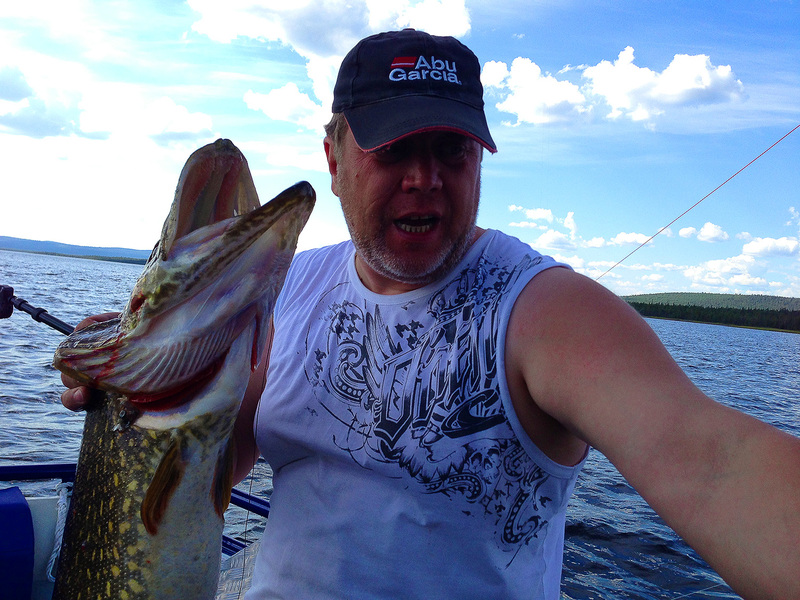
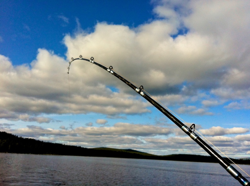
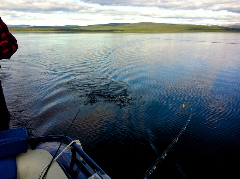
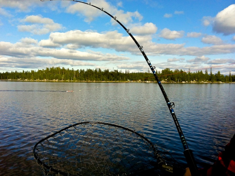
When fishing in our, far off, reservoir it is the matters related to comfort, safety and speed of finding the fish, which prove to be the decisive factors. Therefore, trolling is the shortest path to lucky fishing for the fantastic piece of lake type kumzha, lake salmon, trout or a record breaking pike!
One of the advantages of large lakes, such as ours, is that they are practically immune to thermocline. Due to large size and not very great average depths the water blends around nicely significantly simplifying the vertical search for fish – the bait should move very close to the bottom. This rule is very important for trolling in the channel of wide bays of the outfalls of tributaries. As we know the water is nearly still at the bottom, therefore, the fish is forced to remain deep to avoid the wastage of energy.
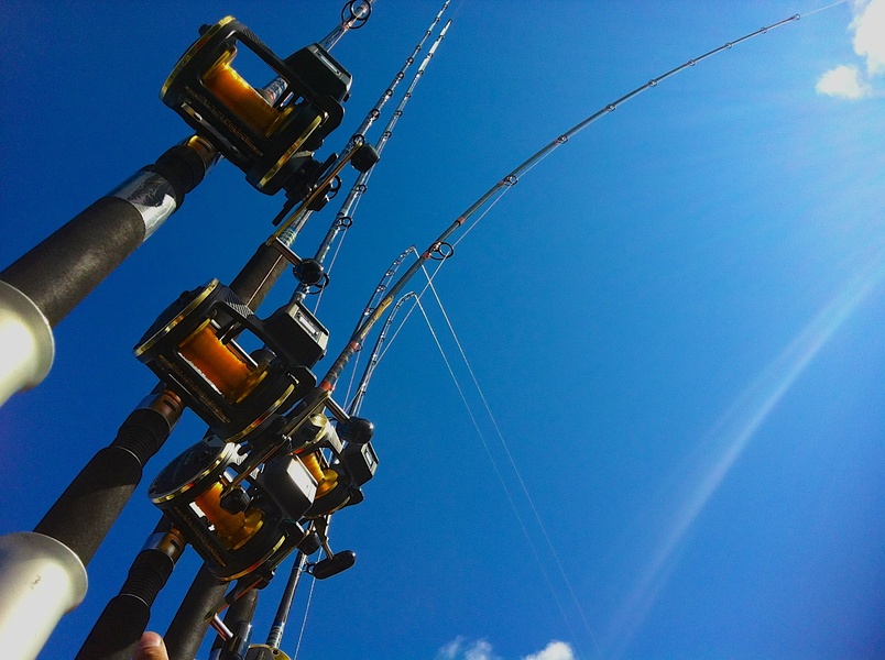
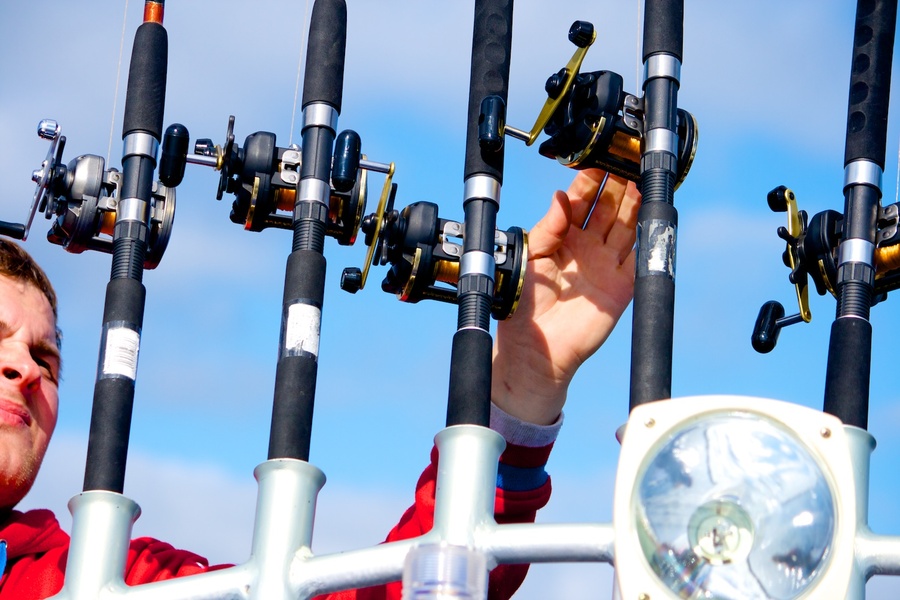
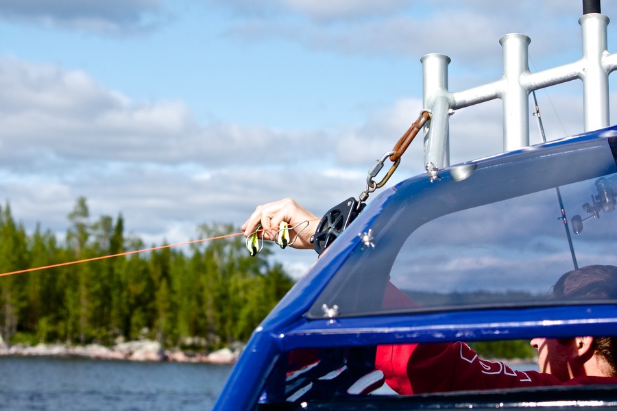
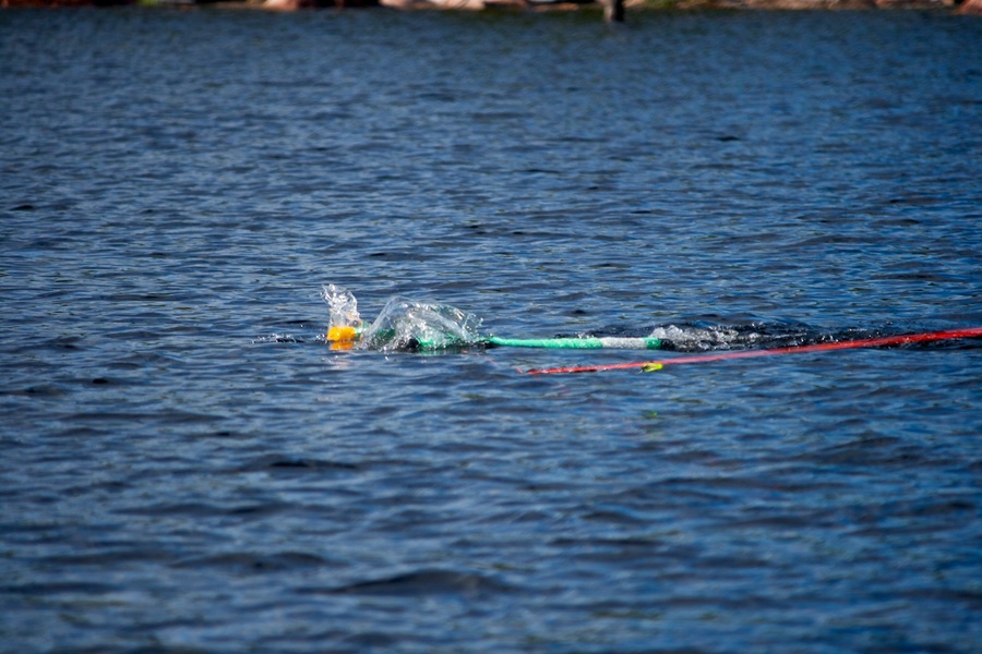
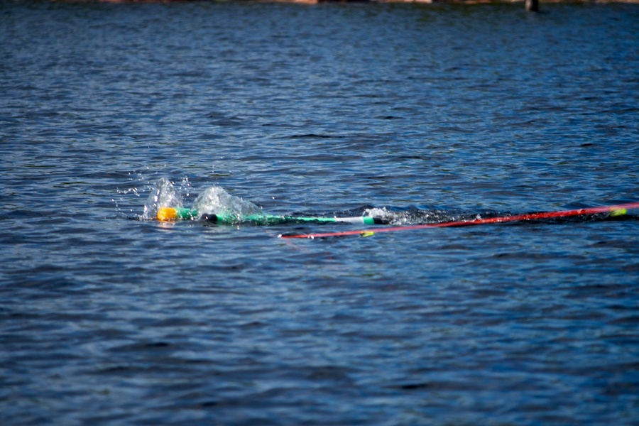
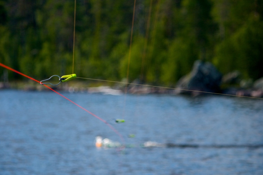
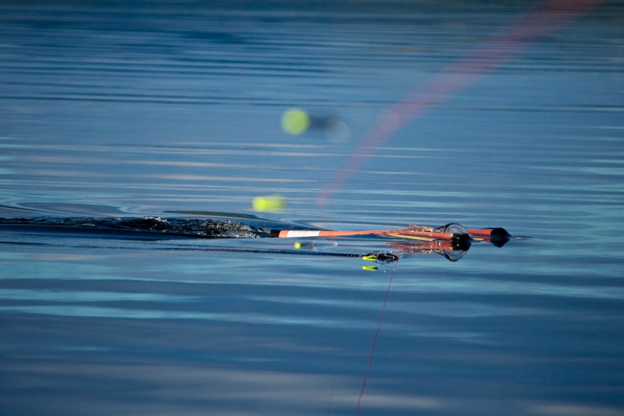
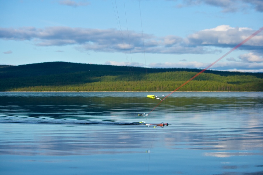
When you think of trolling, you might readily think of a large stylish boat with a powerful engine and filled with fish searching and navigation equipment, a few downriggers and a large number of spinnings in the cockpit. It is not reasonable to say that such equipment is not available to everyone, therefore, the aborigines troll with the planer fishing only up to the depths of 7 m. This has nothing to do with the members of the Suburban Boat Club “Ristikent”!
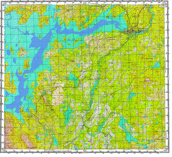
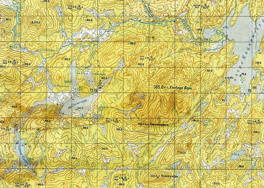
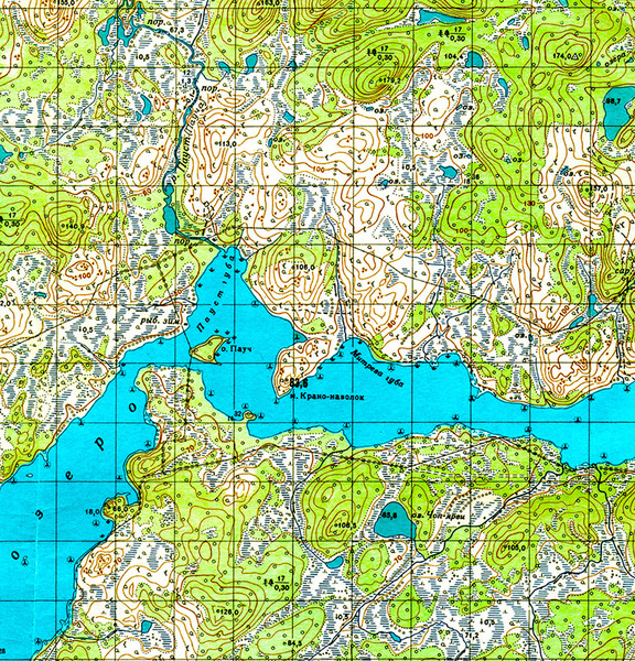
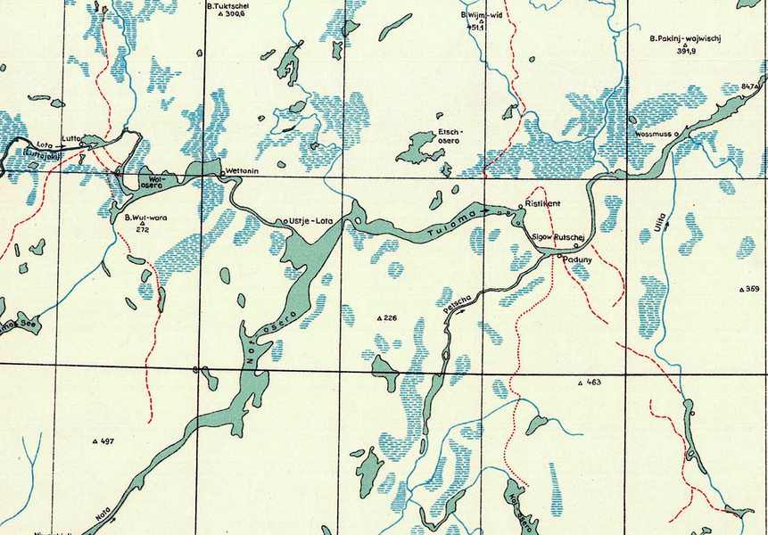
There is a wide range of choices as per the fishing spot in out lake, because we have all types of basic variety in relief, where the predator awaits the prey. These include the flooded river beds and there edges, river bed bumps and flooded lakes. You will commonly across a combination of all types of relief, for example the corroded channel edge, which makes it more possible for you to come across some large fish. Please follow this link to see the map of lakes and rivers before flooding of the reservoir. This will give you all the necessary information that you need for trolling. This map will show you the forests and the rivers channels and lakes. The map of the Upper-Tuloma reservoir also shows a projection of the contours of the Nota Lake. The only thing left is to choose the approximate coordinates of the relief that interests you, so that you can use the sonic depth recorder to get exact coordinates, when already there.
During the construction of the Upper-Tuloma HEP (1963-1965) by the Finnish experts, the marked area for the lake was prepared for flooding, so as payment for the construction of the HEP, a small part of the forest was fallen by the Finns for the couple of years during the process. But a large part of the forest was drowned “to the root”. It is common to see drowned trees on the screens of your sonic depth recorder. As you may know, such areas are not suitable for fishing, but such relief runs along the shores of the old channels of many rivers and lakes and there are nice clear beds among such spots. Such places are good not only because you have less chances of entangling your hook, but also to catch you dream fish, since the predator’s favourite food, such as whitefish and other smaller fish flock in large numbers in these flooded forests. These drowned forests cover hundreds of kilometres of the lake’s bed, which makes it lot easier to troll in such waters, provided that you just avoid the undergrowth.
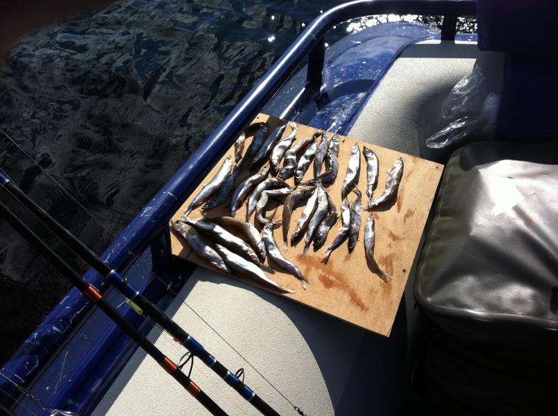
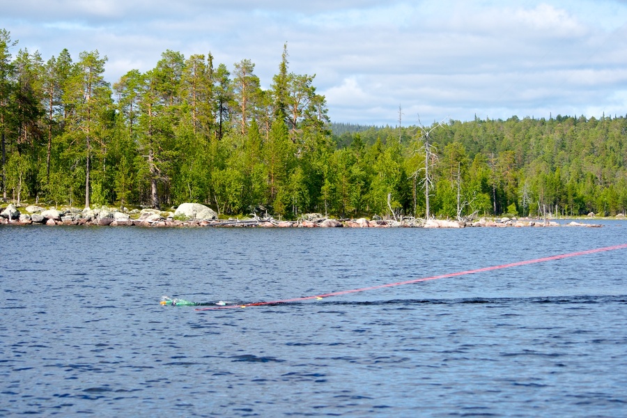
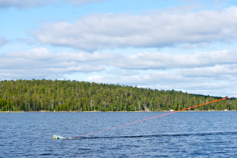
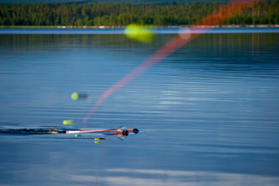
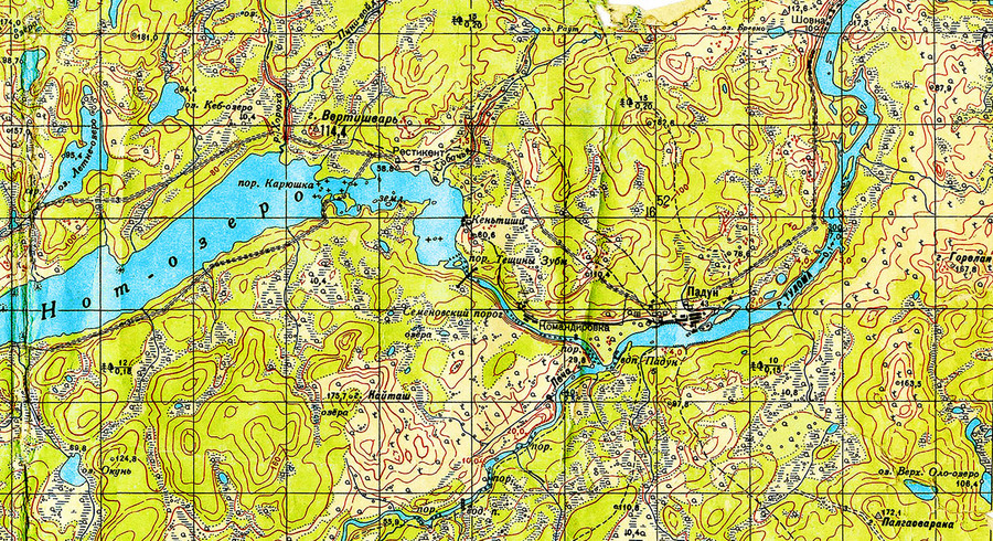
The next interesting spot for trolling is the bank of the flooded Nota River (Nuorttijoki), which runs for about 100 kilometres and is as wide as 40 km (local name is the “Pipe”). Fishing at such spots is considered as classical trolling. Experience tells us that the predator and not only, are attracted to such places and trolling is the best method of fishing in such areas. Like the drowned forests the sonic depth recorder will help you locate the old channel if you know the approximate location. First of all you will be interested in knowing the steepness of the channel’s drop and the depth at the source. We have noted that the best spots for fishing are the sharp steep edges. The simplest and most effective method of understanding the type of edge is to go past above it in short hops at minimum speed with your sonic depth recorder switched ON. It would be very nice if the steep edges would be surrounded by drowned forest. The turns and bends of the shores are also very good for trolling. The deeper the edge is the more you have the chances of fishing, especially near the bottom of the steep. Normally the fish are not evenly concentrated along the steep. Normally every 1-2 kilometres of the edge have 2-3 locations of high concentration of fish. In such places the sonic depth recorder shows large concentration of small fish. We recommend special attention to the places with high concentrations of whitefish, which is in large numbers in the reservoir and still is the most eaten fish for the kumzha and large pike. The length of good spots can be in excess of 100 metres. At such places you can bag more than a day’s norm, while leaving markers for reference to spots of best catch.
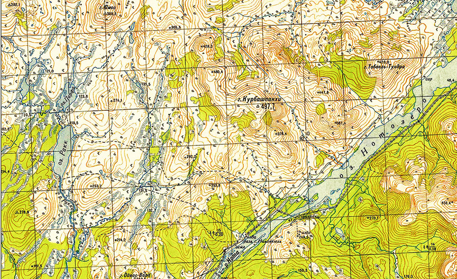
Trolling over the flooded Nota Lake and Katskim Lake must be studied more carefully. Over the sunken Nota Lake, which is in the widest part of the reservoir, where the depth is 40-50metres and many islands and cliffs with steep edges, and in Katskim Lake, which is fed by the Katskim and Rakka Rivers, has many depressions of up to 20 meters in depth and two scenic granite capes local name is “fat” and “long”). Such spots are often serve as refuge for large size kumzha and large deep water pike. Usually the bottom of natural lakes looks like a saucer. Initially we have gradual depth and then it goes steep. At the same time the bottom (bed) is even without any snags or edges, which allows the sonic depth recorder to show a straight line. It would be good if you could find a snag near the lake shore, which would had been created as a result of flooding forest lakes. Please note that all the fish feed in such areas and goes deeper into water, when it gets colder. There is not clear gradual depth as in the case of channel shores, therefore the method of fishing in such areas is a little different. Let us assume that the depths near the lake are 4-5 metres and inside the lake the depth gradually grows up to 20 metres. In such cases we use lead weights to make the bait go as deep as 8-9 metres and simply start sweeping the bottom. If the fish came from the river into the lake, usually it does not take long before it starts to bite. If there is not bite in half an hour, it is better to try your luck in some other spot along the channels of flooded rivers. Any way one hour is sufficient to understand if the given spot is worth spending time or not.
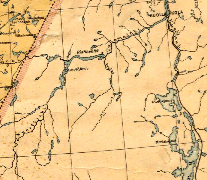
Nota-lake and rivers before flood the reservoir Verhnetulomskiy

Current weather
| Ristikent | Nivankyul |
|---|---|
Sunny | Mostly sunny |
| Temperature: 7° | Temperature: 3°C |
| Comfort: 9°C | Comfort: 8°C |
| Humidity: 73°C | Humidity: 80°C |
| Wind direction: SSW | Wind direction: CLM |
| Wind: 1 m/sec. | Wind: 0 m/sec. |
| Pressure: : 1020 hPa | Pressure: : 1020 hPa |
Site map
Address
Murmansk region, 72nd km Highway P12 Kola-Lottainfo@ristikent.ruDriving directions
Copyright © 2024 Ristikent


