
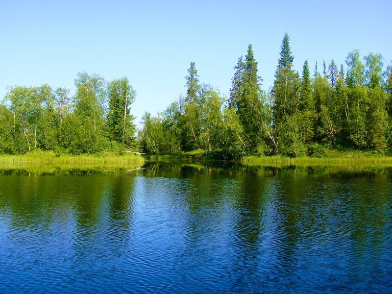
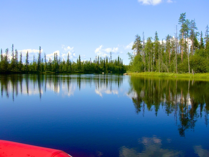
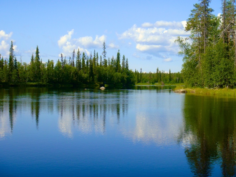
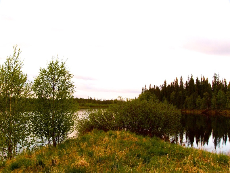
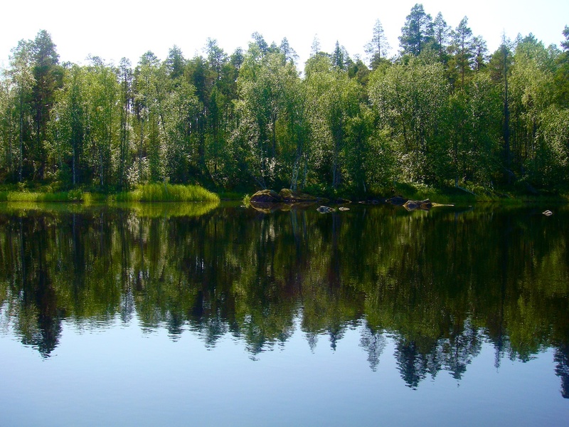
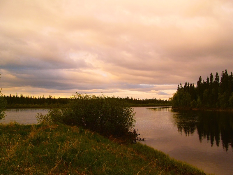


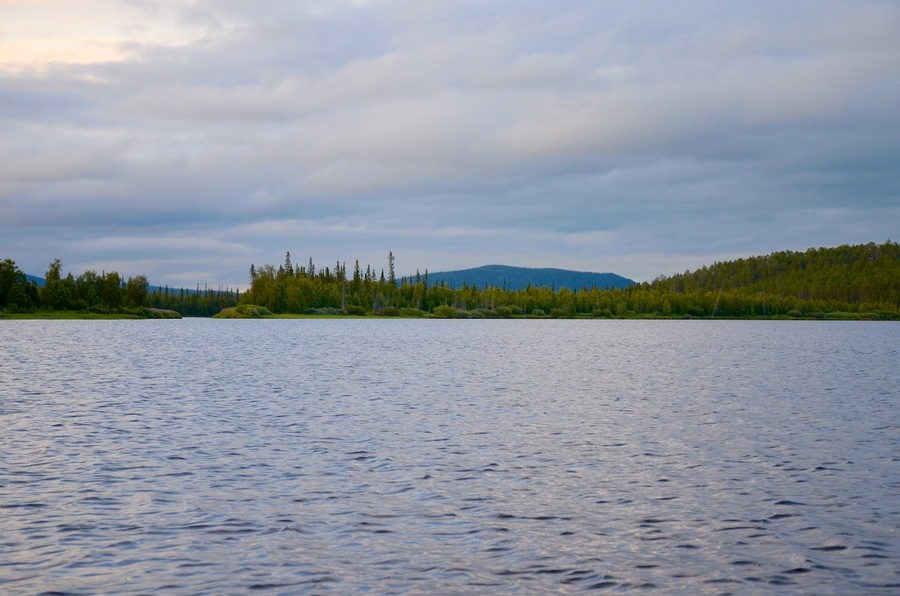


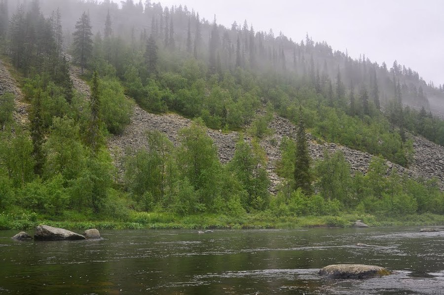
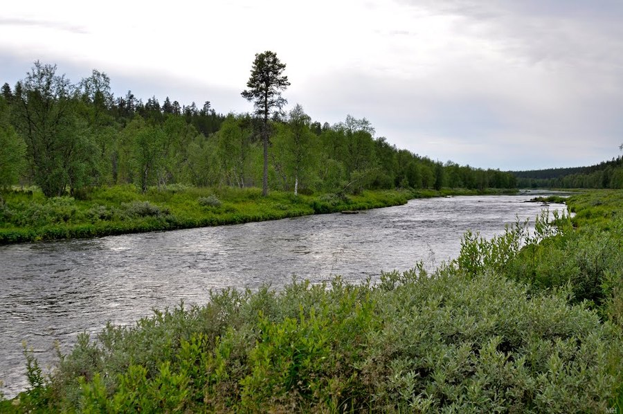
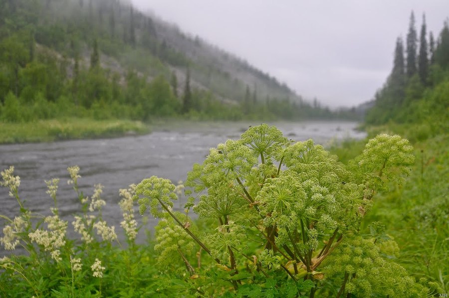
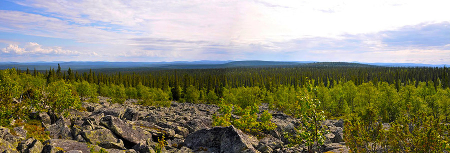
The Nota River
Ristikent, the Nota River, video gallery
-
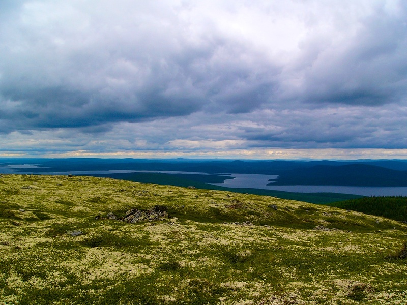
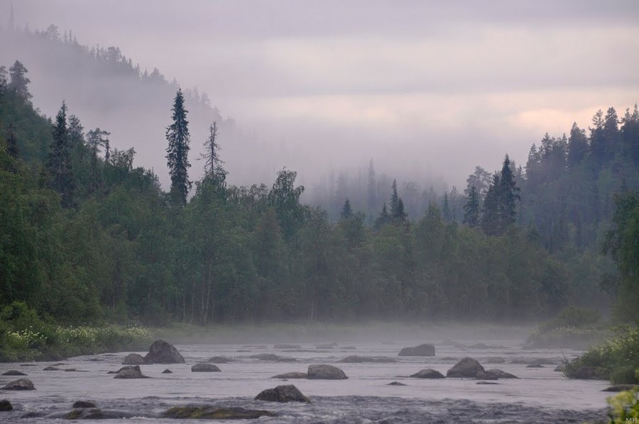
 Река Нота, порог Девичий 2018 / The Nota River
 -
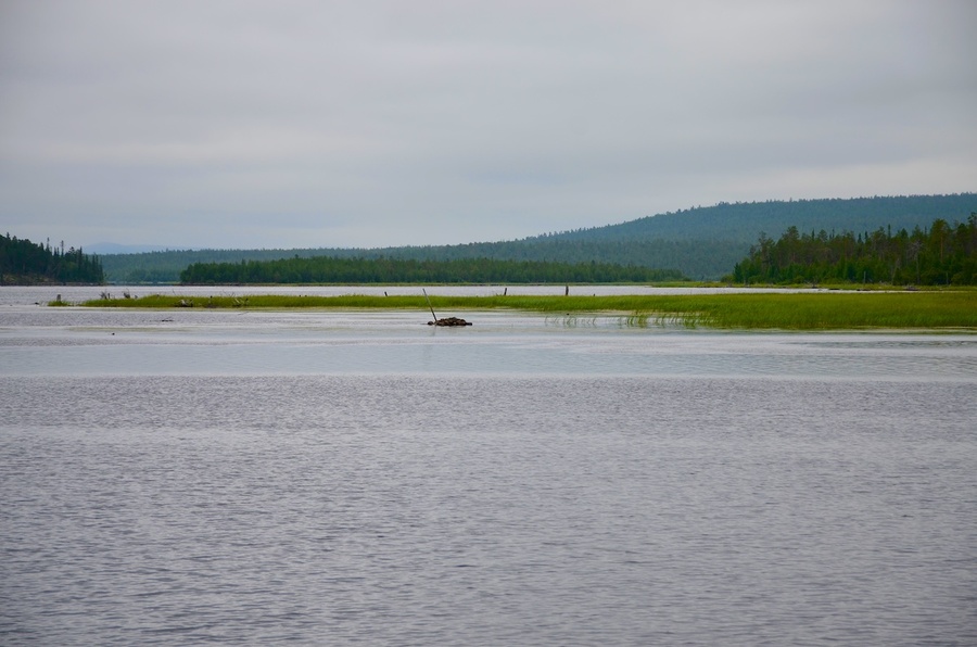
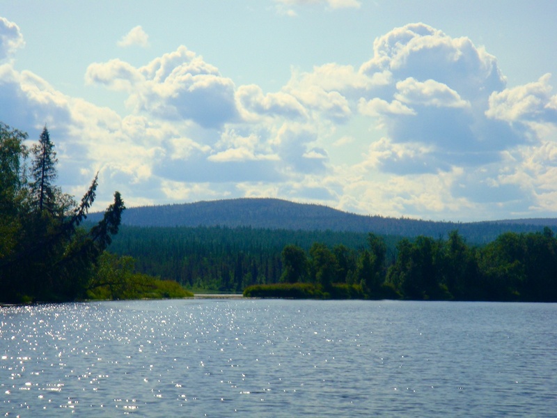
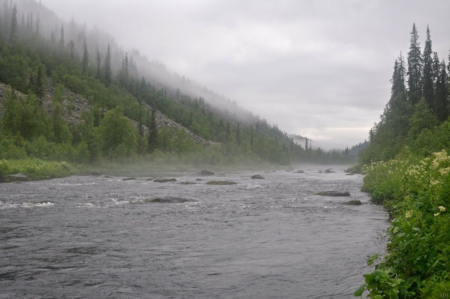
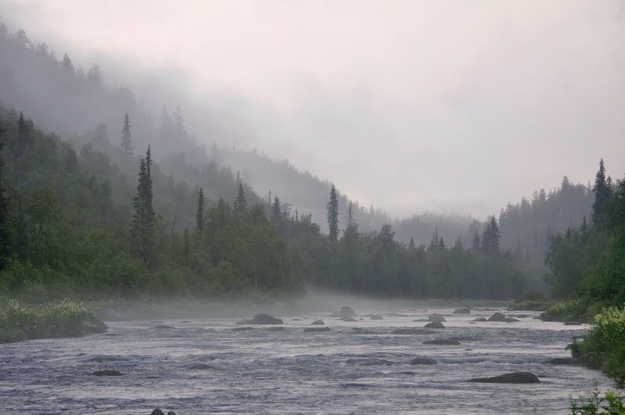
 Река Нота Мурманская область / The Nota River Murmansk region
 -
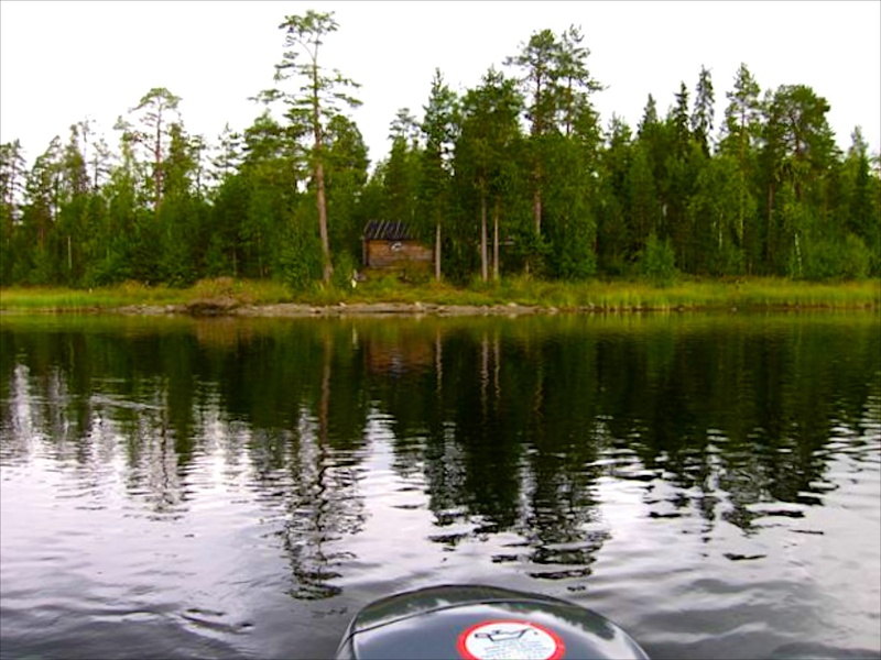
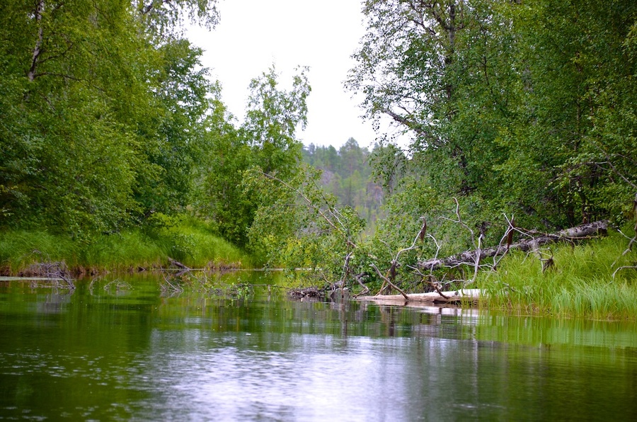
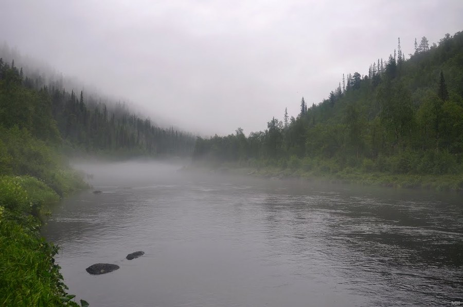
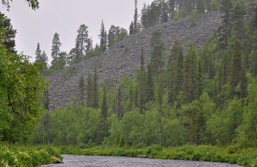
 Поход на реку Нота Мурманская область / Water hike on the River Note Murmansk region
 -
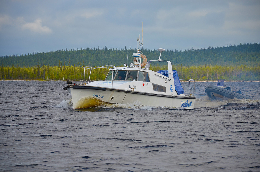
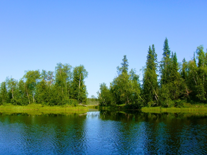
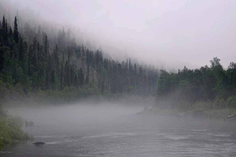
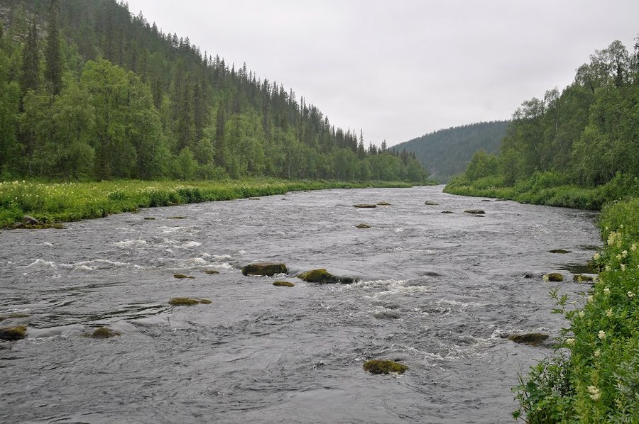
 Клуб Ристикент, река Нота Мурманская область / The Nota River Murmansk region
The Nota river starts in the North-East of Finland (the province of Lapland), not far from the Russian-Finnish border, south-west of the Urho Kaleva Kekkonen National Park (Urho Kaleva Kekkonen kansallispuisto).
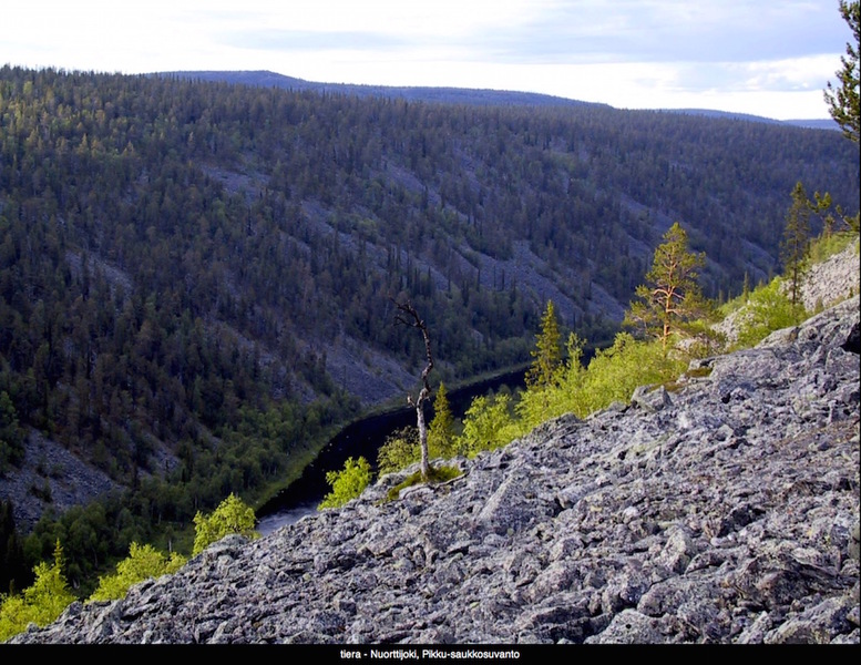
The headstream of the Nota River is factually the merging of several small rivers, such as Tulppioioki and Nuorttijoki, which flow near the Finnish villages of Tulppio and Sotajoki.
The name comes from the word “nota”, which in Notozersk dialect means “dragnet”. In Finnish the river is called Nuorttijoki.
The Nota River has two different lives over the centuries of its existence: before the construction of HEP on the River Tuloma and after.
Till 1920 the Nota River flowed freely bringing the water from the west to the east over the native Lapp territory of the Russian Empire and ended up in the Nota Lake (Nuorttijarvi – Notozero), situated and its backwaters and which got its name from the Nota River.

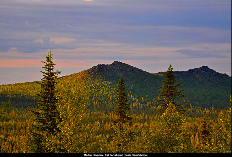
On 14.10.1920 the Tartu Peace Treaty was signed and the new border between Russia and Finland divided the flow of the River Nota into Finnish and Russian parts at 67°58’11.80″, 29°27’16.22″, just 13 kilometres south of the Korvatunturi Mountain, where according to local legends Santa Claus lives.
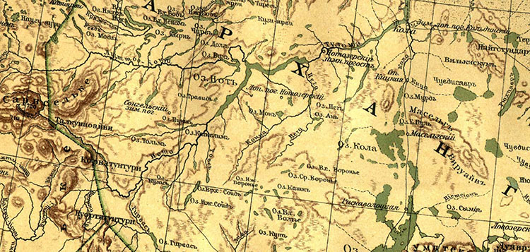
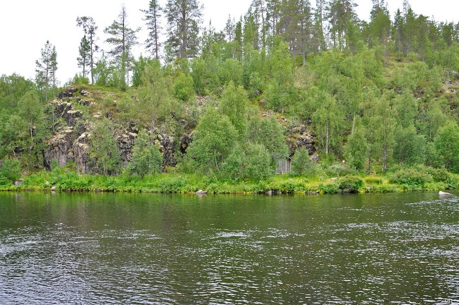
On the Russian side the Nota River ran over the land of the Lapps, who were relatives and spoke the same dialect as was spoken in Songelsk and Notozersk settlements. On the banks of Nota and its tributaries, for centuries there were Lapp camp grounds and at the merger of the River Lotm with the Lake Lotozero, near the lake at the merger of rivers Katskim and Rakka there was a large scale Songelsk camping ground, which in fact was the capital of the settlement, the camping ground of Nivankyul, which had tents and property on both banks of the river etc.

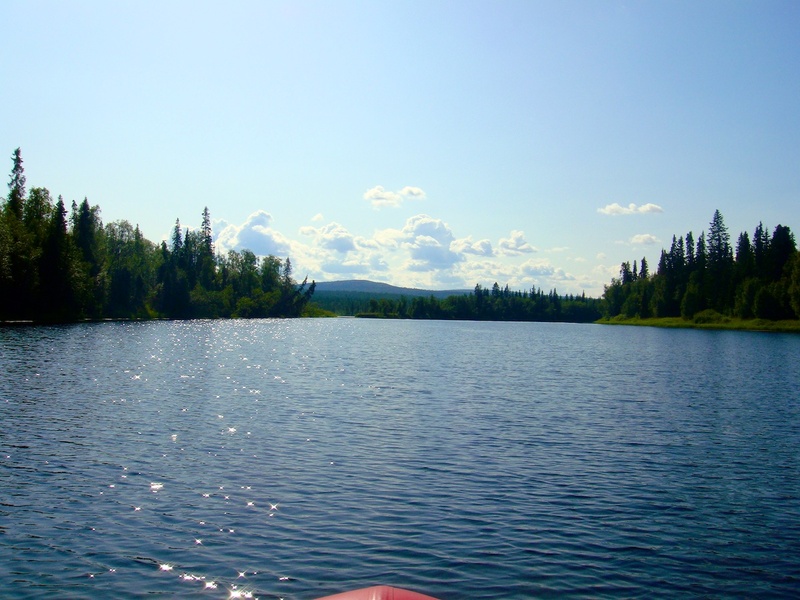
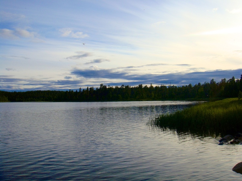
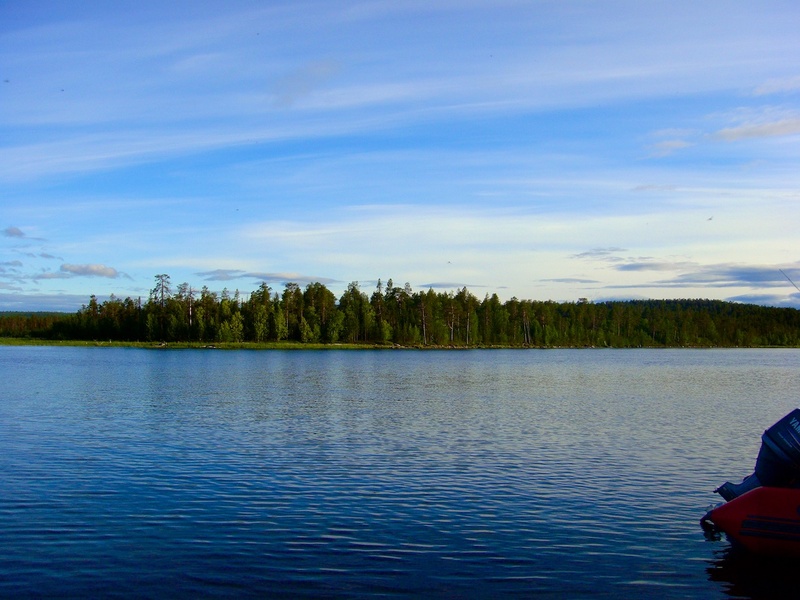
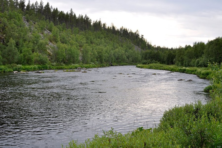
The Nota River gave a lot of fish to the Lapps and the Finns and together with its tributaries and the Nota Lake it was a year round transport route for this area of the Russian Lapland.
The Nota Lake was also fed by a number of rivers and several unnamed streams, but the Nota River was the largest among them. The only river that takes its source from the Nota Lake is the Tuloma River, which runs all the way to the gulf of Kola in the Barents Sea. Before the construction of the Upper-Tuloma HEC in 1965, large hoards of salmon, kumzha and whitefish annually swam upriver from the Barents Sea into the Tuloma River, for centuries. On their way they used pass the rapids of Murmash, Sukhoi, Kalepukha, Sosnovets, Krivets (the fastest and the most dangerous rapid), Shovsky corgi at the merger point with River Shovna, bypassed over the second flow of the Padun waterfall from a 6 meter height to the merger with the River Petcha, the rapids of Semenovsk and Tesheny Bay at the head of the Tuloma , finally rising to Notozero to a height of 90m above sea level, crossing the working fish gate of Lower-Tuloms HEP, built during the Stalin era in 1939 to provide electricity to the city of Murmansk. From the Nota Lake the strongest of fish even manage to go upstream into the Nota River all the way to its head water for spawning, and even goes into tis many tributaries.
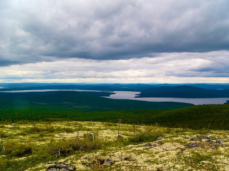
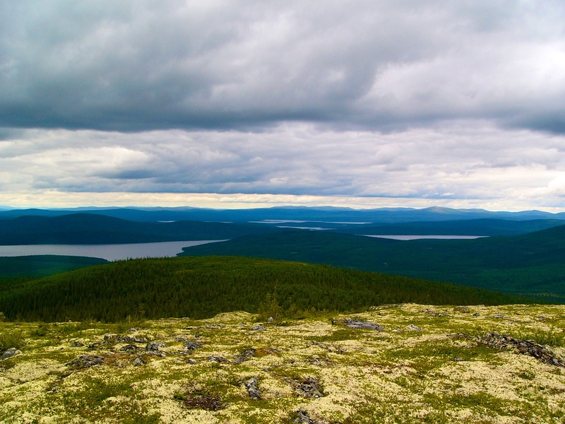
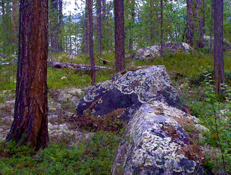
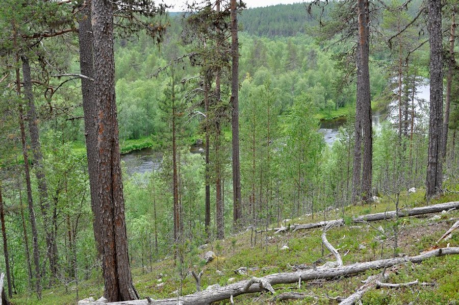
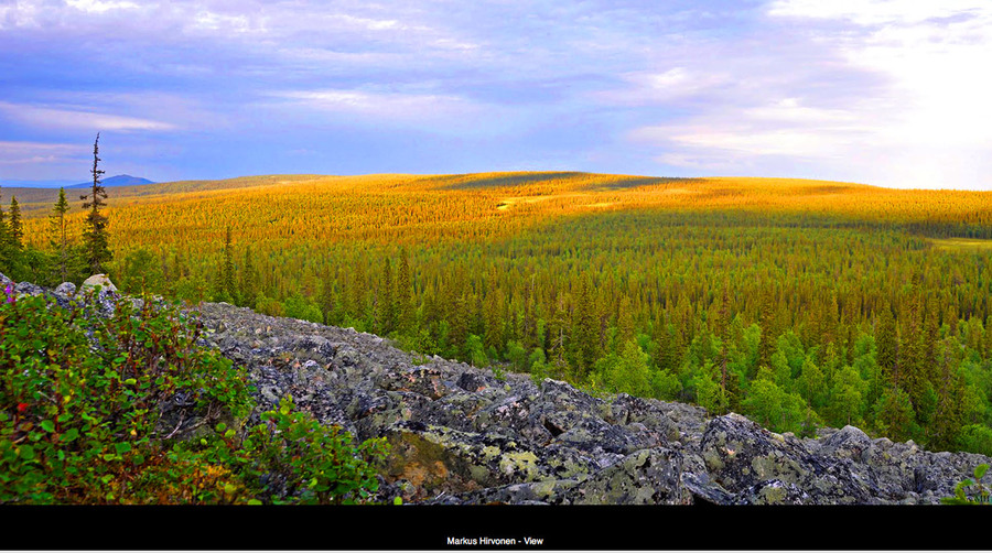
Before the flooding of the Upper Tuloma reservoir in 1965 the length of the Nota River was approximately 280 km and it was mainly a plane river, which took in many large and rapid tributaries, but there are many very high rise areas filled with rock.
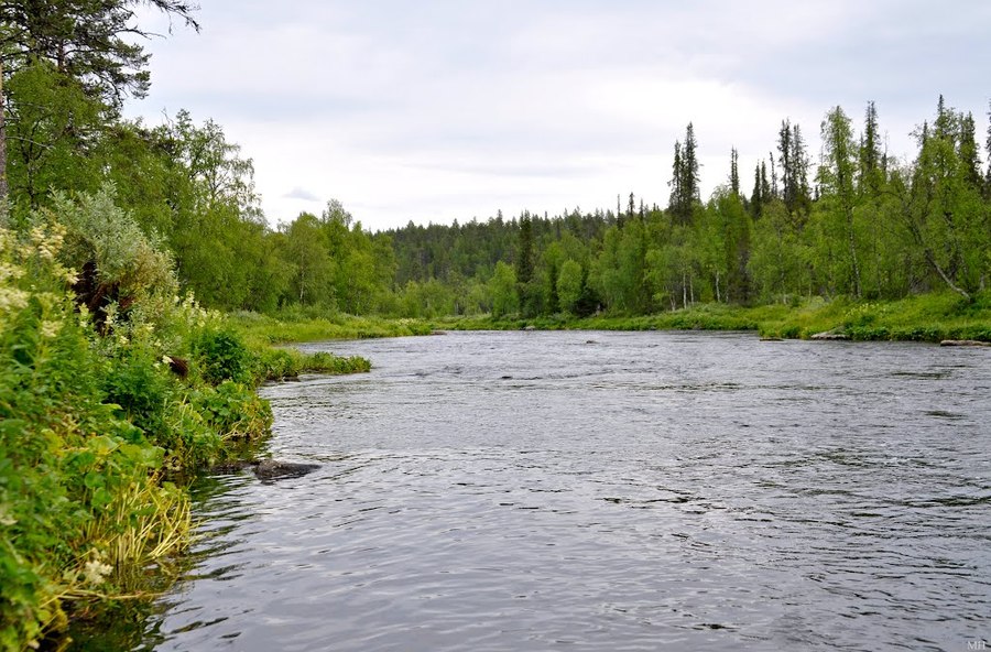
The main source of water for the Nota River are the melt ice waters. Nota had many tributaries. From the left bank Nota is fed by the Javr (Yaori-Joki), which runs for 120km, Etmos, which runs for 20km, Pados, which runs for 35km, the ten km long Pyartym, thirteen km long Mavra and the Katskim. The right side tributaries include Hirvas, Wuwa, Arian, Ross-joki etc.
At present the length of the river from its source in Finland to its end in the Wildlife Sanctuary of “Nota Lake forest”, which is right after the turn with very treacherous rapids Devichi 1 and 2, is approximately 120 km.
After the flooding of Upper-Tuloma reservoir in 1965 the earlier lower reaches of the Nota River expanded and in fact make-up a long gulf of the reservoir, strongly jutting to the south-west.
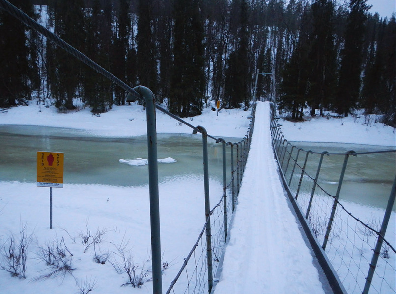
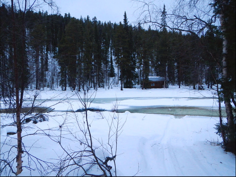
The Nota River usually freezes in the end of November, as it is freezing winter time. At places the ice grows as thick as 1 meter.
In 1984, for a period of 20 years, a wildlife sanctuary for fish was created by the state in the Nota River. Its area spread over 15.8 thousand hectors. The sanctuary’s territory included the Nota River, its tributaries Pados, Javr and parts of the Upper-Tuloma reservoir up to the mouth of the River Nota.
On 21 April 2011 the Government of Murmansk issued a Decree to constitute a regional Sanctuary called “Lapland Forest”. The Sanctuary encompasses parts of the “The Nota Forest”, area of 101642 hectors, including the Nota River and all the adjacent to the river territories on the left bank.
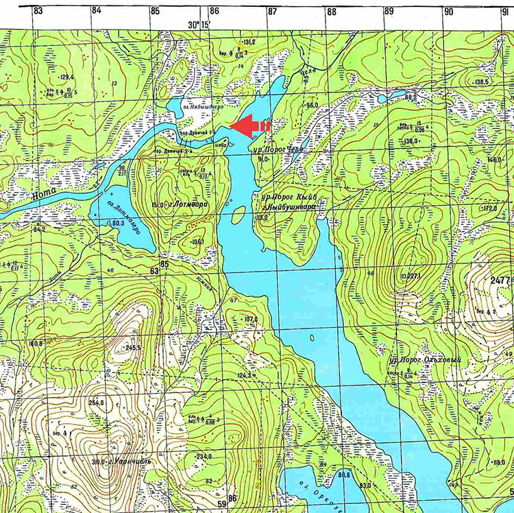
Our company has acquired a 49 year lease starting in 2011 for an area of 1.23 hectors on the left bank, right by the mouth, of the Nota River (marked in red on the map).
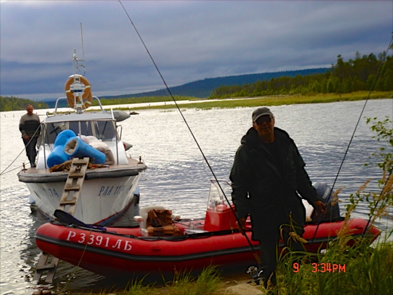
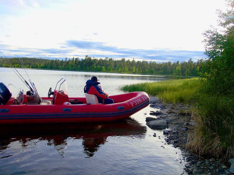
The river is favourite by fishermen, because it is rich in kumzha, trout, grayling, whotefish, as well as pike, perch and dog-fish.
Unfortunately, due to the destruction inflicted by the “PINRO savages” to the fish gate, which was well built by the Finns at the Upper-Tuloma HEP, the salmon has long lost any chance of going upstream to the reservoir and consequently into the Nota River and its tributaries.
Ristikent, the Nota river


Current weather
| Ristikent | Nivankyul |
|---|---|
Sunny | Mostly sunny |
| Temperature: 7° | Temperature: 3°C |
| Comfort: 9°C | Comfort: 8°C |
| Humidity: 73°C | Humidity: 80°C |
| Wind direction: SSW | Wind direction: CLM |
| Wind: 1 m/sec. | Wind: 0 m/sec. |
| Pressure: : 1020 hPa | Pressure: : 1020 hPa |
Site map
Address
Murmansk region, 72nd km Highway P12 Kola-Lottainfo@ristikent.ruDriving directions
Copyright © 2024 Ristikent


